02 Feb 2018
Tags:
qgis oregon raster qgis2threejs

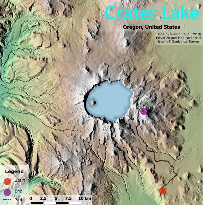
An overview about making a typical hillshaded raster map from a Digital Elevation Model. In this post, I will also elaborate on raster stylings and useful geoprocessing functions available in QGIS, and use the qgis2threejs plugin to generate web-exportable 3D map visualizations.
09 Nov 2017
Tags:
qgis california vector atlas

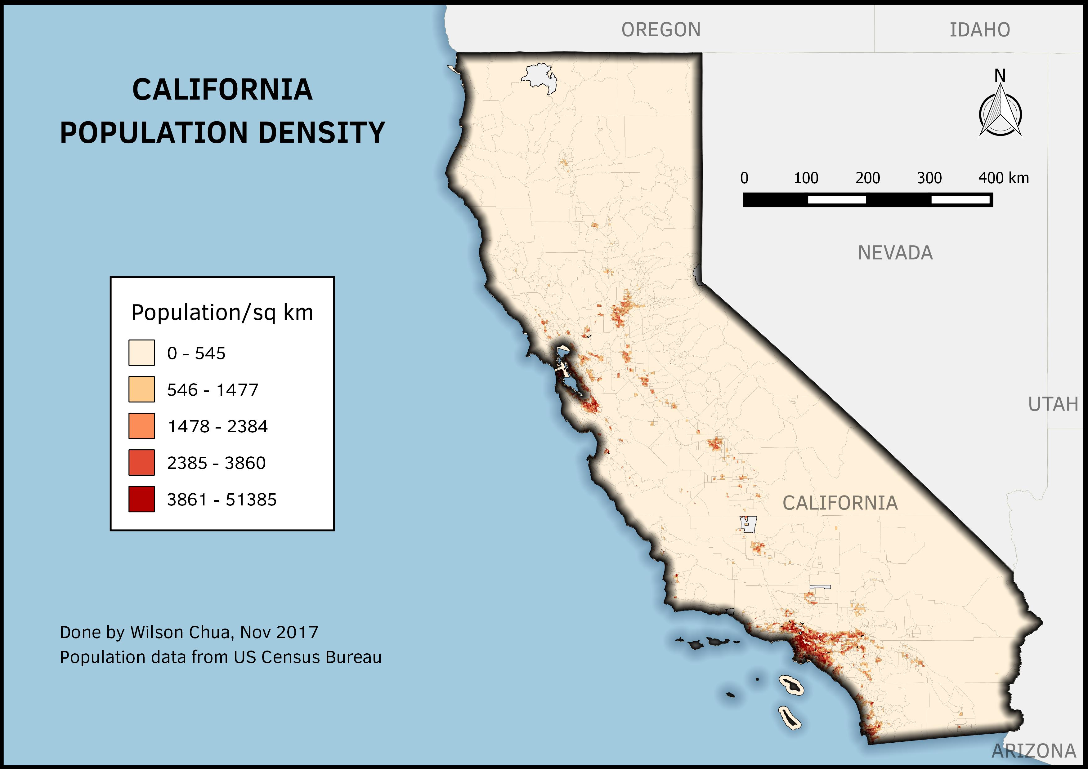
A post where I try to revamp some previous work I made. Based off a QGIS tutorial.
05 Nov 2017
Tags:
qgis singapore vector

Lab Assignment #2 for my high school GIS course
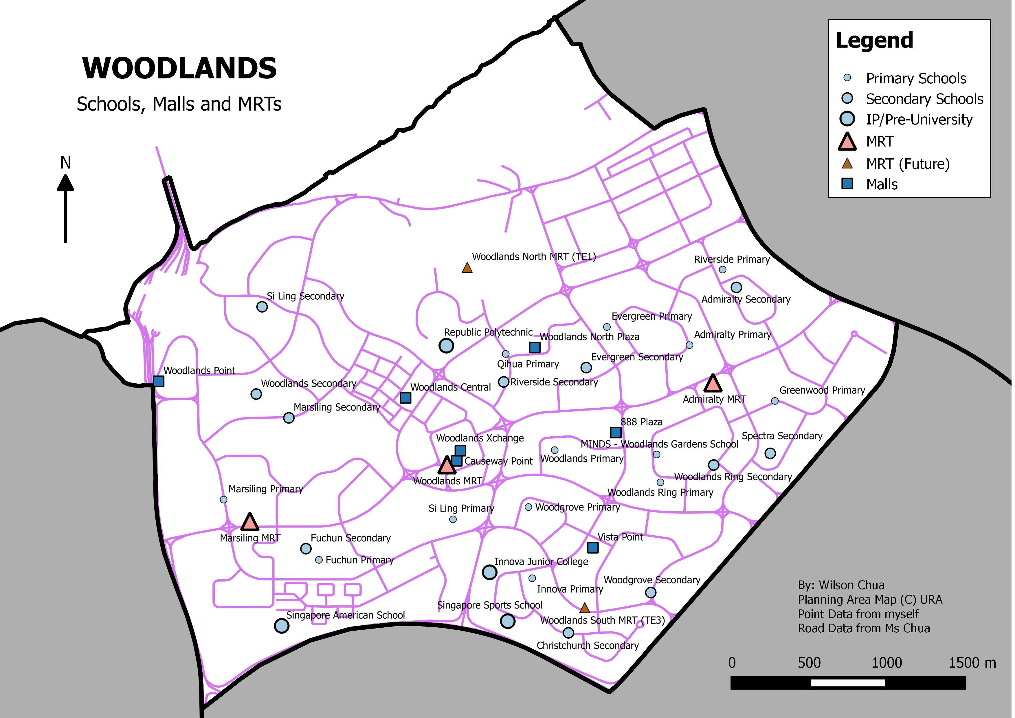
A client requests an identification of a feasible location for his start-up beverage outlet in northern Singapore. The outlet specializes in bubble tea, and it was preferred that the location would take advantage of larger human traffic near major transportation routes.


